Back to top

ENS-PSL
45 rue d'Ulm
75005Paris
France
Session of the DHAI seminar with Charlotte Duvette & Paul Kervegan (INHA)
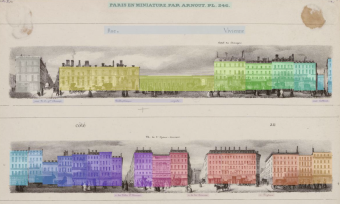
Newspaper illustrations, printed ads, restaurant menus, postcards, but also architectural blueprints and cadastral maps : throughout the 19th century, the urban setting was the ground for numerous representations, comments and documentation, in a context of unprecedented media production. We chose a multifaceted approach to these historical documents. A GIS documents maps evolutions in the plot plan ; OCRised registers offer a glimpse into the neighbourhood’s economic networks ; a 3D model allows us to spatialise representations of the place de la Bourse ; finally, an image-based corpus documents the urban imaginary throughout the XIXth century. By linking these heterogeneous data sources, first through an SQL database, then by developing a Web platform and custom data analysis tools, we aim to gain an understanding of the neighbourhood’s multiple layers : social, historical, economical and cultural. (NB: The presentation will be given in French, with English slides)
École Normale Supérieure, 45 rue d’Ulm, 75005 Paris
Centre Sciences des Données (3ème étage près de l’escalier C / 3rd floor by stairway C)
or
https://cnrs.zoom.us/j/91811421611?pwd=RE1BdEFqaUxhelBpUExCTjJhMHJvUT09