Breadcrumb
- Home/
- Research/
- Research projects/
- GeoMAP, a historical mapping of the Parisian art market

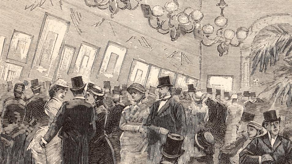
The early 19th century, witnessed the development of the art market in Paris, with an increase in the number of dealers and the specialization of certain districts into "rue des tableaux".
Although a few studies analyze this phenomenon, they are essentially monographic or devoted to a short period. The challenge of the GeoMAPproject is to analyze the evolution of the artistic geography of Paris from a global point of view and over time, using methods derived from quantitative art history and digital humanities.

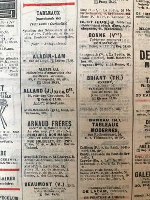
GeoMAP is based on a historical source, the Almanach Didot Bottin, better known as the Bottin du commerce. This directory presents a classification of Parisian occupations by mentioning their addresses.

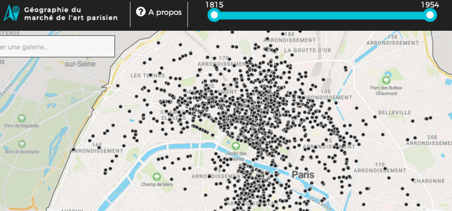
A first set of data was transcribed by Félicie Faizand de Maupeou and Léa Saint-Raymond, and then georeferenced by Julien Cavero: the category of "picture dealers" listed in the Bottin du commerce between 1815 and 1954 (i.e. 2,784 locations). Each entry corresponds to a single dealer, at a given address and for a given date.
To materialize the evolution of Paris (which extends to the Thiers enclosure in 1860), the successive administrative limits can be displayed on the map (12 arrondissements of Paris between 1795 and 1860, 20 arrondissements established on January 1, 1860 and the 80 administrative districts).

Access to this historical and geographical directory of art market players in Paris has been designed through an interactive map that offers several ways to explore. The map and the website were developed using the Leaflet library and designed in a responsive way in order to be consulted on all screen formats. The site has been hosted since 2017 on the Huma-Num TGRIR.
This online mapping of Parisian "picture dealers" will be completed by those of "chinoiseries and/or japanese dealers".
Team
- Database: Félicie Faizand de Maupeou (Labex Les Passés dans le présent) et Léa Saint-Raymond.
- CCartography and visualization interface : Julien Cavero