Urban machines


Field lecture at the ENS-PSL (département Géographie et Territoires)
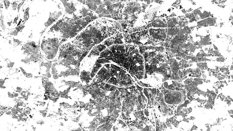
As a world-class megapolis, Paris is an interesting laboratory for studying and understanding the urbanisation of large globalised cities. This urban planning lecture is conducted both indoors and outdoors to analyse and explore the specific urban forms of such cities: the urban machines. The analysis of these megapolitan objects is necessarily done in multiple scales to understand the national, regional, urban and local dynamics in which they are inserted.
This course mobilises tools and concepts from geography, urban planning and architecture. This lecture explores digital cartographic note-taking as a rendering format. Students are asked to annotate (in real time if they can with their smartphone) a free digital map (mymaps) with texts, quotes, references, photos or drawings. The pedagogical objective of using digital tools is to familiarise students with online mapping sites, to explore and take advantage of their functionalities in order to produce shareable, exchangeable and editable field notebooks.
Teacher
Practical information
- Public: ENS and PSL students (from L3 to M2)
- Courses taught in French
- No prerequisites
- 6 ECTS credits delivered
- Course validated as part of the ENS Diploma
- Intensive week, first week of March (dates 2022 to be determined)
- Course locations: Ex situ: Salle Roncayolo (R2-05), Campus Jourdan, Ecole normale supérieure, 48 boulevard Jourdan, 75014 Paris; In situ: tour of 5 urban machines in Paris

